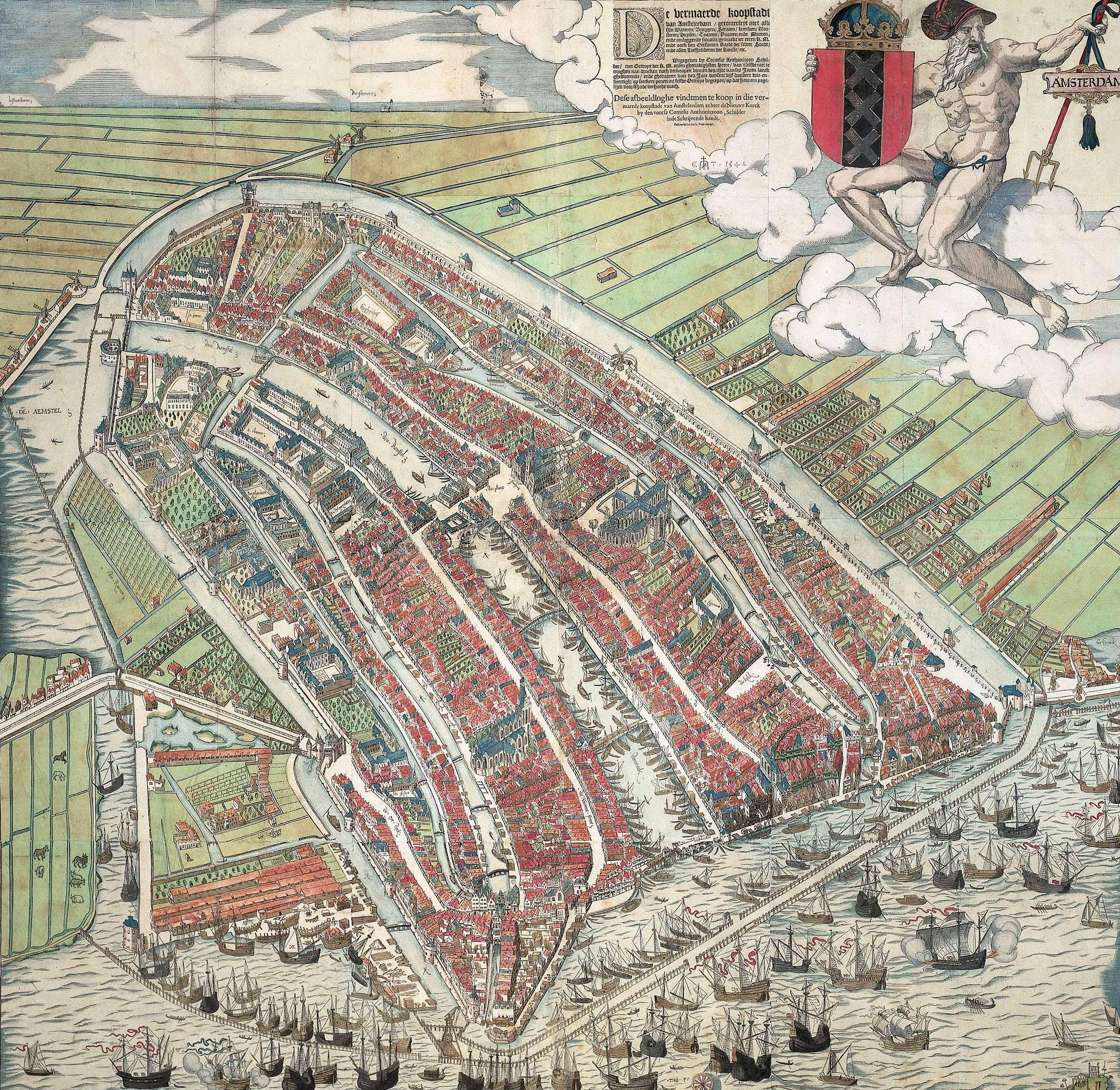
Only because it is a city I know well, and reasonably well described...
This tiny city had the Bishopric seat, three hot springs/baths, a very healthy textile trade, and a garrison in times of war of 1000 men under arms. The population of the city was around 2000, with the outlying villages/hamlets retreating into the walls and the adult males becoming part of the yeomanry if the area was threatened. The length of the walls was 1247m and the enclosed area is less than 0.1km^2
The visible 'extra fortification' growth some 300 years after our period of interest is still limited to the turnpike to the north (right hand side of the map), and south (left hand side, on the approach to the bridge).
I think the population of this central zone is far lower than this now, as it is predominantly a shopping centre but the overall city has a size of 11km^2 and 90,000 population.
Old population density was 20500 per km^2, current around 8200 per km^2. To fit 30,000 at this higher density would only require a 1.2x1.2km city at 1:1 scaling.
The total land area under cultivation in the country in 1086 was 80% of that under cultivation in 1914, with hamlets, farms and small villages scattered more or less evenly and uniformly across it. A few slightly larger hubs were at 'day market' and 'weekly market' distances apart within this network.
Not necessarily directly relevant to Novigrad, as it is a different type of city and landscape (we had fewer trolls and nekkers), but some points of reference that some might find interesting in their own right.